Live now · 114 layers
The whole planet, live.
Flights, ships, satellites, lightning, earthquakes, fires and storms on one free 3D globe. Spin it, search it, and see what's above you right now.
Free · No sign-up · Works in any browser
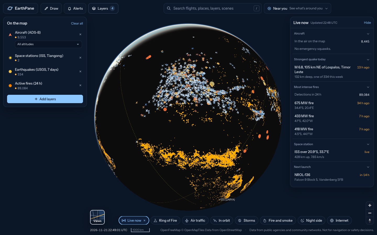
Pick a live map
Each opens the globe with the right layers already on.
Live flight tracker
Track live flights on a free 3D map.
Live satellite tracker
Watch thousands of satellites orbit Earth in real time on a 3D globe: Starlink, the ISS, weather and GPS satellites.
Where is the ISS right now?
See where the International Space Station is right now on a live 3D globe, plus China's Tiangong station.
Starlink satellite tracker
See every Starlink satellite in orbit on a live 3D globe.
Live earthquake map
See earthquakes happening now on a live world map, from USGS and EMSC, updated every few minutes.
Volcano map
Map of the world's volcanoes with this week's eruptions and unrest from the Smithsonian and USGS weekly report.
Live wildfire map
See active fires worldwide detected by NASA satellites in the last 24 hours, US fire perimeters and smoke on a free live map.
Live ship tracker
Track ships live on a free map with AIS vessel positions, names, speed and course, plus the world's sea ports.
Live lightning map
See lightning strikes from the last 10 minutes on a live map, detected from space by weather satellites, with thunderstorm cells and their movement.
Hurricane and tropical storm tracker
Track hurricanes and tropical storms live from NOAA, with wind, rain radar and global cyclone and disaster alerts on one free 3D globe.
Live weather radar
Free live weather radar map showing rain and snow, plus wind, temperature and satellite cloud imagery on a 3D globe.
Aurora forecast map
See where the northern and southern lights may be visible tonight with NOAA's live aurora forecast on a 3D globe, plus city lights at night.
Live traffic cameras
Watch live traffic cameras on a map: London, California, British Columbia, Singapore and Finland, plus live TV channels by country.
Submarine cable map
Interactive map of the world's undersea internet cables, landing points and data centres, with live internet outages, on a 3D globe.
What's above me right now?
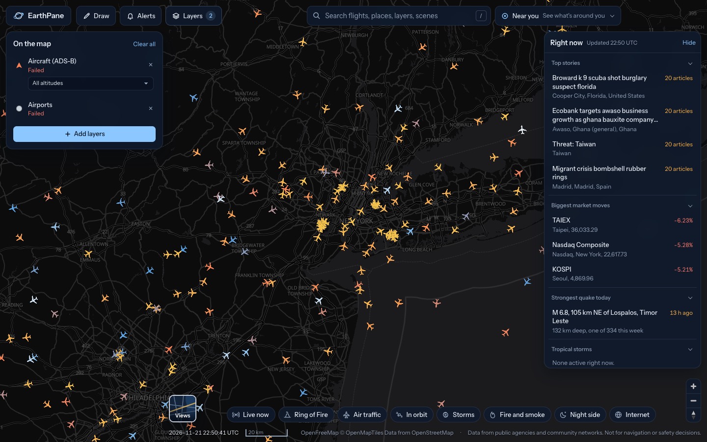
See what is flying above you right now: planes, satellites, the ISS, plus nearby quakes, fires and storms.
What's above you, right now
Tap Near you and EarthPane lists the planes overhead, the next satellite passes and any nearby quakes, fires, storms or alerts, nearest first. Your location is rounded to about a kilometre and never saved.
114 live layers, one globe
Every layer names its source and refreshes as often as that source allows.
Sky & space
28 layers
Aircraft, Military aircraft, Airports, Runways, Navaids, METAR stations and more
Hazards
17 layers
Earthquakes, Active fires, Fire perimeters, Natural events, Disaster alerts, Volcanoes and more
Weather & nature
26 layers
Air quality, Ocean buoys, Weather radar, Satellite imagery, GOES-East live, Himawari infrared and more
Getting around
10 layers
Ships, Fishing vessels, Trains, Rail lines, Transit vehicles, Bike share and more
Infrastructure
13 layers
Submarine cables, Cable landing points, Power plants, Data centers / colocation, Internet disruptions, Power lines and more
World events
20 layers
Ukraine front line, Wikipedia nearby, Military bases & installations, Licence-plate cameras, Cyber threats, News events and more
Where the data comes from
Public agencies and community networks, credited on every layer.
NASA FIRMS · NASA GIBS · NOAA NHC · NOAA SWPC · NOAA GOES · USGS · EMSC · CelesTrak · OpenSky Network · adsb.fi · adsb.lol · aisstream.io · RainViewer · Open-Meteo · Smithsonian GVP · GDACS · TeleGeography · PeeringDB · IODA · OurAirports · Launch Library 2 · Transport for London · and more
Questions
What is EarthPane?
A free live map of the planet. It puts real-time public data, from planes and satellites to earthquakes and storms, on one 3D globe you can spin, search and explore.
Is EarthPane free?
Yes. There are no ads, no account, no tracking cookies and nothing to install. It runs in any modern browser on desktop or phone.
How live is the data?
Each layer refreshes as often as its source allows: aircraft every 15 seconds, lightning and earthquakes every 2 minutes, fires every 15 minutes. Satellites move every second.
Where does the data come from?
From public agencies and community networks, including NASA, NOAA, USGS, EMSC, CelesTrak, OpenSky Network and many more. Every layer names its source.
Is there an app for iPhone and Android?
Apps are on the way. Until then, EarthPane works in the browser on any phone.
Can I rely on it for safety or navigation?
No. EarthPane is for awareness and curiosity. Follow official sources for warnings, and never use it to navigate.